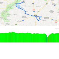
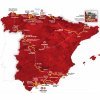
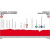
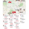
The route navigates the plateaus of northwestern Spain and, for Vuelta standards, the course is rather straightforward. The riders are racing around an altitude of approximately 800 metres for most of the time.
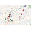
Departure place Salamanca is defined by its university, which dates back to 1218 and is the third-oldest in Europe. Firstly, the route takes the riders on a loop to the east and at kilometre 48 they once again move through Salamanca. The course parallels the south side of the River Tormes to the Portuguese border. A large part of the race runs along the reservoir behind the Almendra Dam, that backs up 2.5 billion cubic metres of water and several drowned villages.
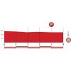
At kilometre 135 the route drops down from 800 metres to 410 metres. The riders cross the Tormes Rivier before they have to go back up again, first with a 4,9 kilometres climb at 5.3%. Following a flat and a drop – both short – the ascent continues for 7 kilometres at 2.2%.
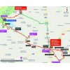
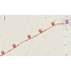
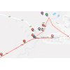
No descent at the top, the route is back at its regular altitude – 800 metres above sea level. Still around 20 kilometres to go in northeasterly direction before a likely sprint showdown in Bermillo de Sayago.
The first three riders on the line take time bonuses of 10, 6 and 4 seconds, while the intermediate sprint (at kilometre 135.3) comes with 3, 2 and 1 seconds.
Read also: results/race report 10th stage 2018 Vuelta a España.
Vuelta a España 2018 stage 10: Route maps, height profiles, and more
Click on the images to zoom
