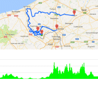
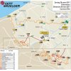
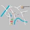
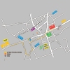
The name may suggest otherwise, but for over a decade Gent-Wevelgem hasn’t started in Ghent. The riders leave from Deinze, some 20 kilometres away, to traverse the flat fields of Flanders. With slightly over 127.7 kilometres done they cross the border to France and it’s there the first hills appear. After 135 kilometres in the saddle Mont des Chats welcomes the riders on its 500 metres slopes of 9%. Via Mont Kokereel, Vert Mont, Mont Noir, and Mont Noir (again, this time from the other side) the pack is back in Belgium with 155.9 kilometres done. Five climbs and three so called plugstreets left.
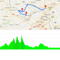
Back in Belgium, the Baneberg is the first hill. Or should we say ‘wall’? Only 300 metres but with ramps of up to 20%. A little later Kemmelberg takes in a maximum grade of 17%, while the 3 kilometres climb is averaging 4%. The riders continue and 4 kilometres down the road Monteberg accounts for a 1 kilometre ascent at 7%.
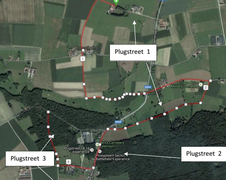
Plugstreets
Three ‘Plugstreets’ are included with a total distance of 5.2 kilometres. Basically, these are semi-paved roads with the first two strips slightly sloping in open plains. The last strip runs through the forest.
After the last plugstreet there are 54 kilometres and two hills left. Both Baneberg and Kemmelberg have been climbed before and it’s after 210 kilometres in the saddle they reappear. Especially the Kemmelberg is impressive as the second ascent is on the western side, not only meaning cobbles but also a steepest sector of 23%. At the top the riders have 34 kilometres left to race.
Results/race report Gent-Wevelgem 2017.
Gent-Wevelgem 2017: Route maps, height profiles, and more
Click on the images to zoom
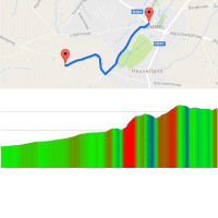 Route and profile Kemmel-Kemmelberg
 Instagram #kemmelberg
 Kemmelberg at strava.com
 Streetview Kemmelberg
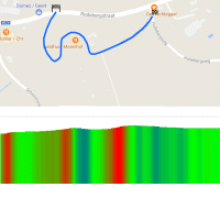 Route and profile Baneberg
 Instagram #kemmelberg
 Baneberg at strava.com
 Streetview Baneberg
